

Unusually dry conditions to persist over central US through first week of 2018
The first week of the new year will pick up right where 2017 left off with an abnormally dry pattern persisting across the central United States.
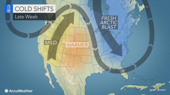
Waves of dry, cold air will spill southward from Canada across the nation’s midsection this week, inhibiting precipitation from breaking out across the region.
The dry spell may reverse the effects of late-December rains that alleviated drought conditions around the Red River and lower Mississippi valleys.
Hot spots for drought in the contiguous U.S. are the northern Plains and Four Corners and South Central states, according to the latest report from the U.S. Drought Monitor. Abnormally dry to moderate drought has also expanded farther east along the spine of the Appalachians.
Dodge City, Kansas, only recorded a trace of precipitation last month, which tied for the second driest December on record.
In Kansas City, Missouri, December 2017 was the fifth driest on record as only 0.19 of an inch of rain and snow fell. The city normally picks up a little over 1.50 inches during the month.
Given that the growing season has ended, only if the abnormal dryness lasts through the winter and into the spring months could there be negative impacts on the region’s agriculture.
Perhaps a greater concern in the short-term is potential damage to winter wheat due to frigid conditions in parts of central and northern Kansas, Missouri and Illinois.
"Temperatures dipped well below zero F in much of this area at the start of this week,"according to AccuWeather Senior Meteorologist Alex Sosnowski.
There was no significant snowcover to help insulate the ground.
"The amount of damage may not be known until the spring when the dormant crop re-sprouts,"Sosnowski said.
Relief may come during 2nd week of January
Following days of dry, cold air inhibiting precipitation across the central U.S., AccuWeather meteorologists anticipate a change in the weather pattern heading into the second week of the new year that may bring the return of wet weather.
As an area of high pressure shifts to the east, wind flow will turn off of the Gulf of Mexico across the country’s midsection, according to AccuWeather Long-Range Meteorologist Max Vido.
This will cause the amount of moisture in the air to increase across the central and southern Plains.
“A system is then expected to form somewhere in the vicinity of the southern Plains and lower Mississippi Valley [around Sunday, Jan. 7],”Vido said.
Should this storm take shape over the aforementioned area, needed precipitation would fall across a portion of the Central states.
The exact time it takes for the storm to take shape and its track will determine where precipitation falls and what form it will take, whether it be rain, snow or ice. Wet weather will reach the West Coast, including California, this week prior to making its way into the Plains.
Temperatures are projected to rise back to seasonable levels across the Plains during the storm's approach late this week.